Plan Review & QC
Pre-submittal third-party QC against the agency's actual checklist. CAD standards compliance, cross-sheet consistency, and the corrections you would rather catch before the reviewer does.

Civil work built from the survey up. A production and QC command suite for Autodesk® Civil 3D® software and pre-submittal plan review against the agency's own checklist, built by a designer who still produces plan sets every week.
Every tool free for 14 days. No key, no credit card, no account.


Production, review, and standards work across land development in the Carolinas.
Licensed drone operation for topographic mapping and as-built capture.
Published Civil 3D author and former Director of the AUGI Civil 3D Community.
Everything here comes out of production work. The tools run inside your Civil 3D seat; the applications run anywhere.
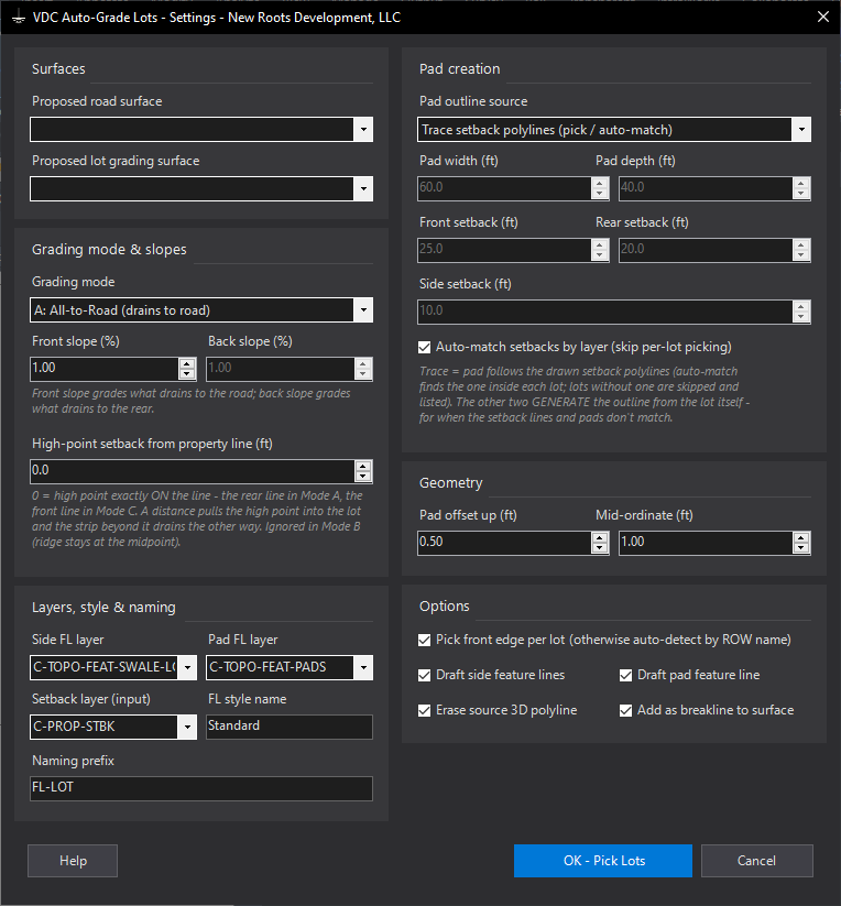
A production and QC command suite for Autodesk® Civil 3D® software, 2024 through 2027. Lot grading, storm and sewer layouts, sheet frames, adjoiner labels, and the audits that catch what the reviewer would.
See the Tools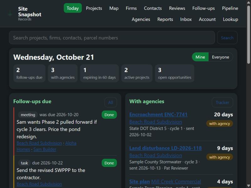
The free lookup: one point, one page, what the public record says about that ground. Sign in and the same page becomes the project record: permits, review cycles, who is involved, and each agency’s real turnaround.
Open Site Snapshot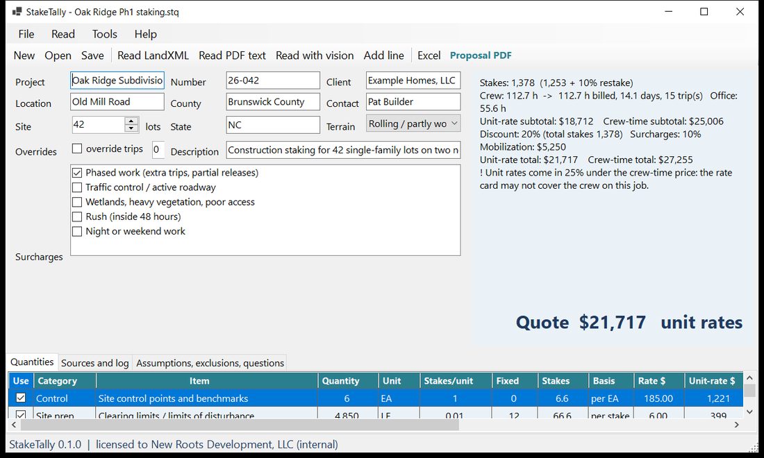
The staking and drone mapping estimator. Drop a plan set or plat in, get the staking proposal out, with the math shown; plan the mapping flight and price that too.
Open StakeTallyTwo more applications are in the works. All applications
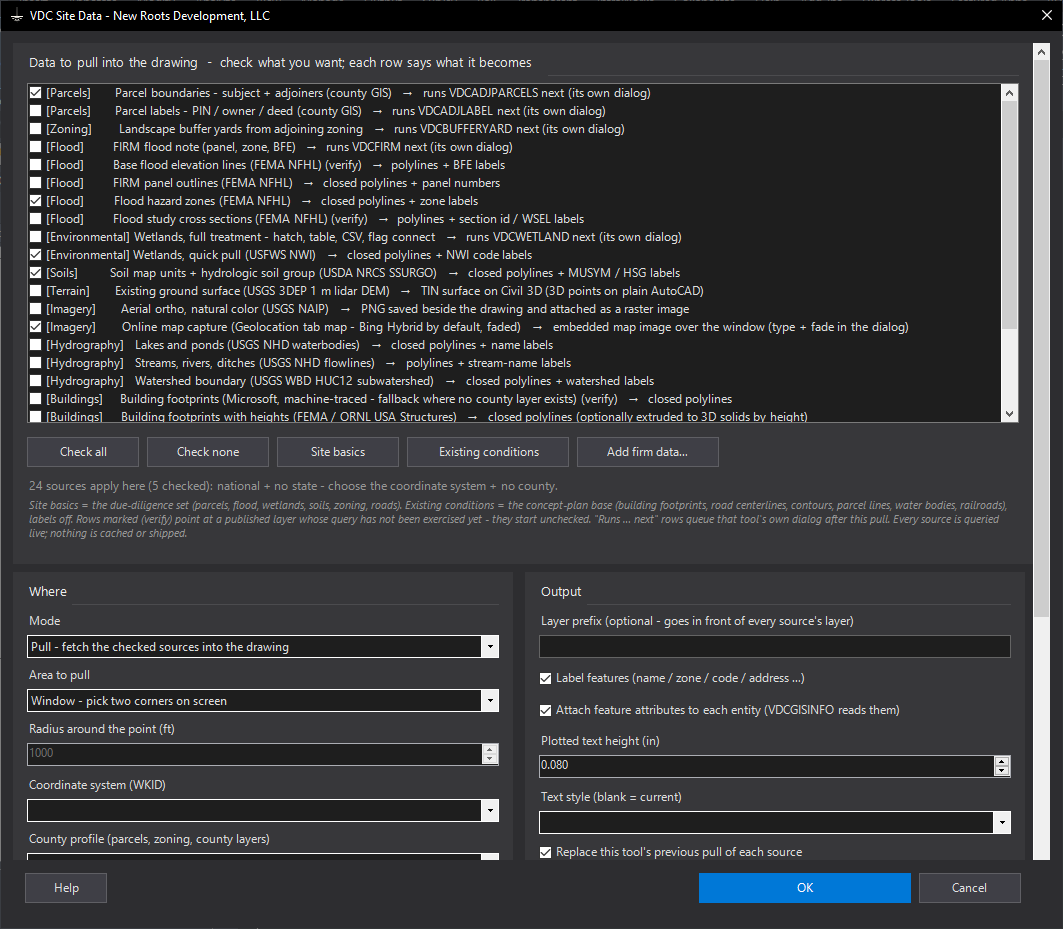
Seven ribbon tabs and twenty-four panels. Civil, Lots, Utilities, Survey, Sheets, Plans draft: lot grading, lidar ground thinning, contour smoothing, service laterals, storm and sewer layouts, adjoiner labels, sheet frames. VDC QC reviews: zoning minimums, pipe cover and slope, road geometry, ADA slopes, plat closure, plotted-label collisions. Standards live in editable libraries, so every audit runs against your rules.
Six services, all built on live project work.
Pre-submittal third-party QC against the agency's actual checklist. CAD standards compliance, cross-sheet consistency, and the corrections you would rather catch before the reviewer does.
Bid-ready quantities and earthwork analysis pulled from the model, not scaled off a PDF. Independent verification for when the number has to be defensible.
We produce plans and plats. Full civil site plan sets and recorded plats, drafted in Civil 3D software to your template and your layer standards, delivered behind your licensed PE or PLS of record.
Styles, label sets, part lists, and project templates built to your firm's standards, so the drawing comes out right before anyone starts drafting.
Existing-conditions surfaces flown, processed and delivered ready to model in Civil 3D software. Flown by an FAA Part 107 remote pilot who is also trained in drone maintenance through Horry-Georgetown Technical College and the Unmanned Safety Institute.
Color illustrations of site plans and other plans for presenting to a board, to regulators, or to the public: rendered 2D plans, 3D views and models, and slide shows, built from your CAD so they match the design. Samples on request; a gallery is coming.
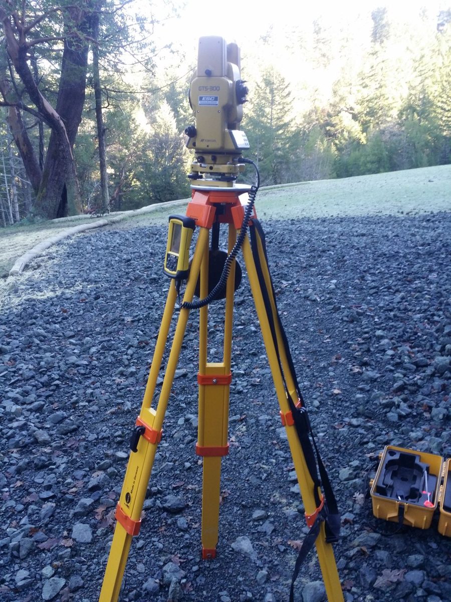
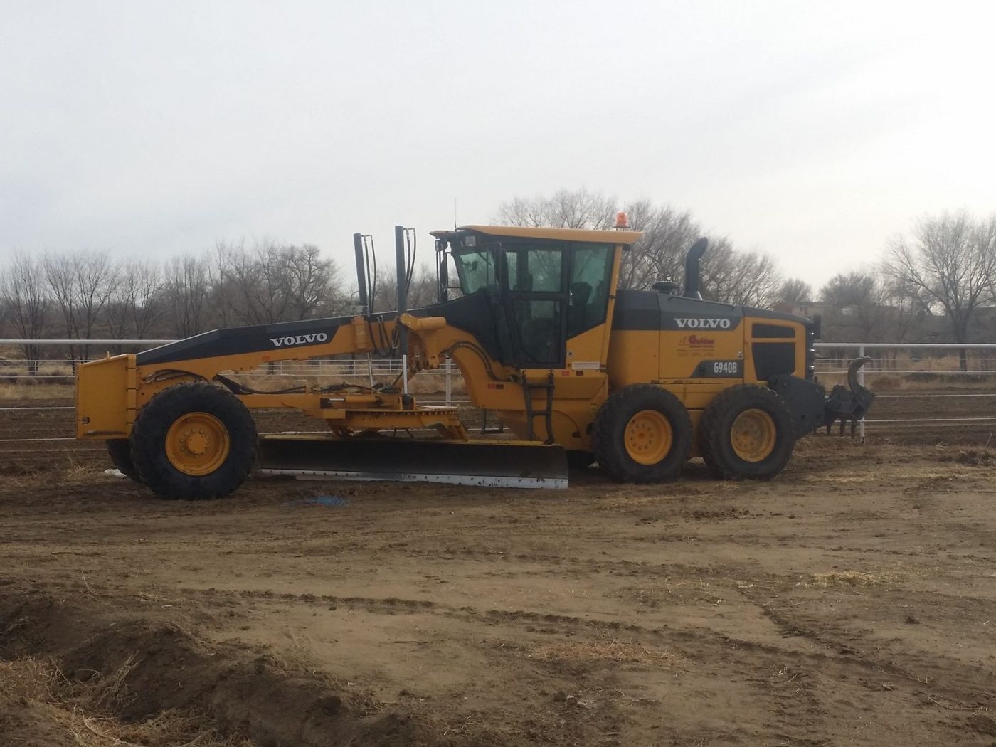
Twenty-five years of field and production work: the Carolinas, California, New Mexico.
I'm Christian Barrett. Twenty-five years in civil engineering, and I still produce plan sets, run reviews, and fly the sites underneath both. New Roots exists because the tools I needed did not exist, so I built them. Everything here comes out of production work, not a product roadmap.